The Forecast Dilemma: Which Weather Report Do You Trust?
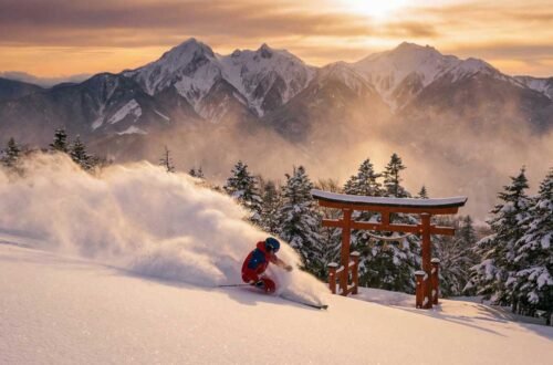
You’re staring at three different weather forecasts for Mammoth Mountain, a nervous energy buzzing in your ski boots. The resort’s flashy app promises a foot of fresh powder. A popular weather website predicts a more modest 6 inches. And then there’s the official NOAA.gov page—a cryptic wall of numbers and maps that feels like it requires a meteorology degree to understand.
Which one is right? Who do you trust when your precious, hard-earned ski days are on the line? This isn’t just about convenience. It’s the difference between floating through a dream run of untouched powder and getting caught in a frustrating, or even dangerous, storm with the wrong gear and the wrong plan.
This guide will end that confusion for good. We’re going to demystify the NOAA Mammoth Mountain forecast, turning you from a bewildered visitor into a savvy skier who can anticipate conditions like a local. You will learn how to find the right forecast for your specific elevation, interpret the data for optimal skiing, and make every trip to Mammoth a resounding success.
The Source of Truth: Why a NOAA Forecast Beats All Others
In a world of slick weather apps and branded snow reports, it’s easy to overlook the quiet authority of the National Weather Service (NOAA). Yet, nearly every forecast you see—from the one on your phone to the one on the resort’s big screen—originates from NOAA’s powerful data infrastructure. Learning to read the source gives you an unfiltered, more accurate, and ultimately more powerful advantage.
Think of it as getting your information straight from the chef instead of reading a summarized menu. Commercial apps often simplify the data, rounding off numbers and omitting the subtle but critical details that can make or break a ski day. They might tell you it’s going to snow, but NOAA’s direct forecast can tell you when it will be windy, what the snow-to-liquid ratio might be, and how the temperature will shift hour by hour.
Mammoth Mountain is surrounded by a network of over 16 professional weather stations that feed real-time, ground-truth data directly into the NOAA system. When you access a NOAA point forecast, you are tapping into the most precise and immediate information available, free from the marketing spin designed to sell lift tickets.
App Forecast vs. NOAA: A Tale of Two Reports
Let’s see what this difference looks like in practice. Here is a comparison of what a typical weather app might show versus the granular detail available in a NOAA point forecast for the same time period.
| Feature | Standard Weather App | NOAA Point Forecast | Why It Matters for Skiers |
|---|---|---|---|
| Temperature | High: 30°F, Low: 15°F | Hourly temps, wind chill | Know exactly when to add or shed layers. |
| Precipitation | 60% chance of snow | PoP%, snow amounts, type | Is it a light dusting or a major storm? |
| Wind | 15 mph SW | Speed, direction, gusts to 40+ | Predicts lift closures and wind slab danger. |
| Details | “Cloudy” | Cloud cover %, visibility | Will you be in a whiteout at the summit? |
By learning to navigate the source, you bypass the simplifications and get right to the actionable intelligence that informs the best skiers on the mountain.
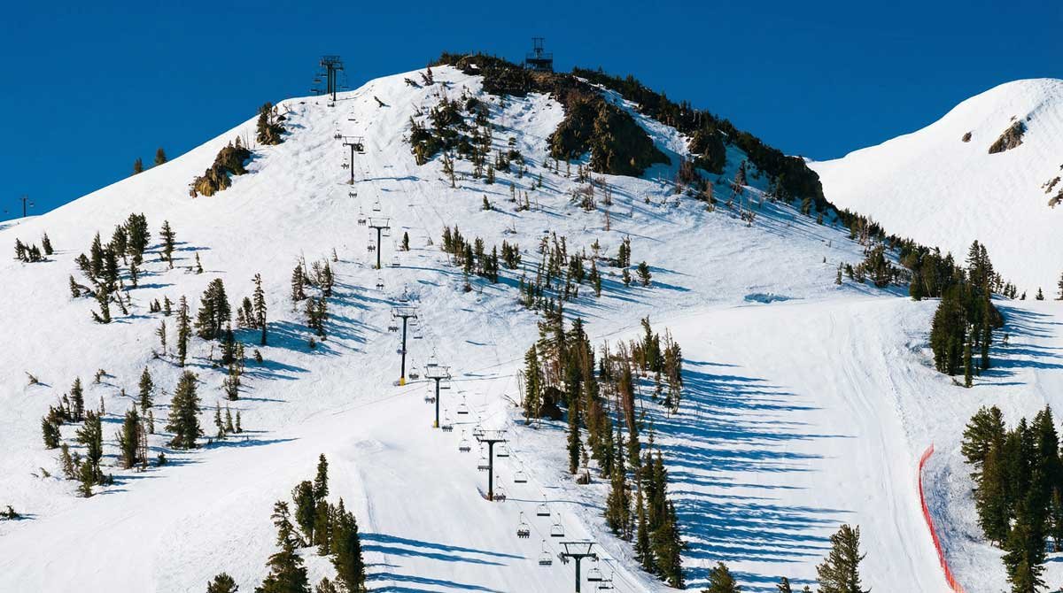
Not One Mountain, But Three: Mastering Mammoth’s Elevation Weather
Mammoth Mountain isn’t just a single peak; it’s a massive volcano with a staggering 3,100 feet of skiable vertical drop. This immense change in altitude creates one of the biggest challenges for weather forecasting: what’s happening at the base is often completely different from what’s occurring at the summit. Relying on a single forecast for the town of Mammoth Lakes is one of the most common mistakes visitors make.
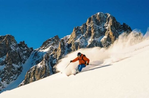
To truly understand the weather, you must think of Mammoth as three distinct climate zones stacked on top of each other. A storm that brings a miserable, slushy rain to the base area could simultaneously be delivering a foot of the lightest, driest powder you’ve ever skied to the summit. This is the secret that separates locals in the know from frustrated tourists.
Mastering the mountain means mastering its microclimates. Before you even look at a forecast, you need to know which zone you’re looking for and what its unique characteristics are.
Mammoth’s Three Weather Zones
| Zone | Elevation | Key Characteristics & What to Expect |
|---|---|---|
| The Base | 7,900 – 9,000 ft | Often warmer and less windy. First to see rain if temperatures are marginal. A good indicator of town conditions. |
| Mid-Mountain | 9,000 – 10,000 ft | The transition zone. This is where the rain/snow line frequently sits. Conditions can change rapidly here. |
| The Summit | 10,000 – 11,053 ft | Significantly colder, windier, and receives the most snow. This is the zone that delivers epic powder but is also most prone to lift closures and whiteouts. |
Understanding this fundamental principle is the first step. Next, we’ll show you how to get a specific, accurate NOAA forecast for each of these critical zones.
Your Guide to the NOAA Mammoth Mountain Forecast
Now for the game-changing skill: pulling a precise “point forecast” from NOAA’s website. This is how you get weather data for a specific spot on the mountain, not just the general area. It might look intimidating at first, but it’s a simple, four-step process.
Pro Tip: Bookmark Your Coordinates
To save time, you can use direct links with latitude and longitude coordinates to access forecasts for key locations instantly. Here are the three most important ones for any Mammoth skier:
- Mammoth Summit (approx. 11,000 ft): https://forecast.weather.gov/MapClick.php?lat=37.6306&lon=-119.0326
- Mid-Mountain (approx. 9,500 ft): https://forecast.weather.gov/MapClick.php?lat=37.639&lon=-119.019
- Main Lodge Base (approx. 8,900 ft): https://forecast.weather.gov/MapClick.php?lat=37.6488&lon=-118.9779
Bookmark these links. Check all three before a trip. This simple habit will give you a complete picture of the mountain’s conditions that few others possess.
Speaking the Language of Snow: A Skier’s Guide to NOAA Data
You’ve found the right forecast; now it’s time to translate the numbers and jargon into actionable ski intelligence. Understanding these key metrics is what separates a good day from a legendary one. Here’s your cheat sheet for reading a NOAA point forecast like a seasoned pro.
| NOAA Metric | What It Really Means for Your Ski Day | Pro-Level Interpretation |
|---|---|---|
| Temperature / Freezing Level | Determines snow quality. | Below 25°F often means dry, light powder. 28-32°F can be heavier “Sierra Cement.” Watch the freezing level; if it’s at 9,000 ft, the base may get rain while the summit gets snow. |
| Wind Speed / Direction | Affects lift operations and safety. | Sustained winds over 35 mph will likely cause holds on upper mountain lifts (Gondola, Chair 23). SW winds often bring storms; NE winds bring cold, clear days. |
| PoP (Probability of Precip.) | The chance you’ll see snow at all. | A 40% chance doesn’t mean it will snow 40% of the time. It means there’s a 4-in-10 chance of measurable snow falling in that forecast period. Higher percentages mean higher confidence. |
| Snowfall Amount | The potential accumulation. | Pay attention to the range (e.g., “2 to 4 inches”). The higher number is the potential, not a guarantee. Combine this with wind speed to anticipate where snow will drift and accumulate. |
| Cloud Cover / Dewpoint | Impacts visibility and snow texture. | 100% cloud cover plus high winds can mean a total whiteout up high. A low dewpoint is a key ingredient for the driest, lightest powder snow. |
By looking at these data points together, you can build a remarkably accurate picture of your day. For example, a forecast of low temperatures, low dewpoint, and light winds after a storm is the perfect recipe for a bluebird powder day. Conversely, high winds, rising temperatures, and a high PoP might be a good day to stay on the lower mountain or explore the trees for better visibility. For more on safety, check out the latest advisories from the Eastern Sierra Avalanche Center.
Beyond the Basics: Advanced Tools for Serious Powder Hounds
Ready to elevate your forecasting game? The standard point forecast is just the beginning. NOAA offers a suite of powerful, lesser-known tools that can give you an almost unfair advantage in your quest for the perfect turn. These are the tools the most dedicated powder chasers live by.
1. The Hourly Weather Graph
This is your minute-by-minute playbook for the next 48 hours. Found just below the main forecast, the hourly graph visualizes temperature, wind, and precipitation chances. It’s the ultimate tool for timing your day. You can see exactly when a storm is predicted to roll in, when the winds will be at their peak, and when the skies are expected to clear. Use it to decide whether to start your day early to beat a storm or wait until the afternoon for fresh tracks under clearing skies.
2. The Area Forecast Discussion
This is the holy grail of weather nerds. It’s the actual text written by the meteorologists at the NWS Reno office, explaining their thought process behind the forecast. They discuss which weather models they trust, their confidence level in the forecast, and the specific factors driving the weather pattern. It provides invaluable context that you’ll never find in an app. If the discussion mentions “orographic lift” and a “strong jet stream,” you know the mountain is about to get hammered with snow.
3. Probabilistic Snowfall Forecasts
Weather is about probability, not certainty. These maps, found in the “Winter Weather” section of weather.gov, show you the full range of potential snowfall outcomes. Instead of just one number, you can see the “most likely” amount, as well as the 10% chance of a boom (much more snow) or a bust (much less). This is crucial for managing expectations and understanding the true potential of an incoming storm.
Which Advanced Tool to Use When
| Tool | Best Use Case | What It Answers |
|---|---|---|
| Hourly Graph | Day-of planning, storm chasing | “When will the snow start/stop?” |
| Forecast Discussion | 2-3 days out, understanding the “why” | “How confident are the experts in this forecast?” |
| Probabilistic Maps | Planning a trip around a storm | “What is the absolute best-case scenario for this storm?” |
Frequently Asked Questions
We dove into Reddit threads and Google searches to find the most common questions skiers have about the NOAA Mammoth Mountain forecast. Here are the answers.
- 1. How accurate is the NOAA forecast for Mammoth?
- NOAA is the most accurate source available because it is the direct data provider for almost all other services. Studies show the NWS digital forecast to be around 85% accurate. However, accuracy decreases further out. A 24-hour forecast is highly reliable, while a 10-day forecast should be used for general trend awareness only.
- 2. What is the best weather website for skiing Mammoth?
- The best website is the one you are reading now—learning to use NOAA.gov directly. While sites like OpenSnow and Mammoth Snowman are excellent for their analysis and community reports, they all base their core forecast on NOAA data. Using NOAA directly gives you the raw, unfiltered information.
- 3. How far in advance can I trust the forecast?
- Think of it as a confidence curve.
• 7-10 days out: Good for identifying potential storm patterns. Do not make firm plans based on this.
• 3-5 days out: The forecast becomes much more reliable. Start getting excited.
• 24-48 hours out: Highly accurate. This is when you can confidently make your final plans. - 4. What does a 40% chance of snow actually mean?
- This is one of the most misunderstood metrics. It means that for any given point in the forecast area, there is a 40% chance of receiving measurable precipitation during the specified time period (e.g., “Tuesday Night”). It does not mean it will snow for 40% of the time.
- 5. Which forecast point should I use for the summit vs. the base?
- Use the clickable map on NOAA.gov to select points for each zone. We have provided direct links in the “Pinpointing Your Exact Forecast” section above. At a minimum, you should always check a forecast for the summit (11,000 ft) and the Main Lodge base area (8,900 ft) to understand the full range of conditions.
Stop Guessing, Start Skiing
The weather on Mammoth Mountain is a powerful and complex force, but it doesn’t have to be a mystery. By moving beyond simplified apps and learning to read the official NOAA forecast directly, you empower yourself with the same tools and insights that the most experienced locals use to score the best days on the mountain.
Remember the three most important steps: always use NOAA as your primary source, always check forecasts for multiple elevations to understand the full picture, and always translate the raw data into what it means for your safety and enjoyment. It’s a small investment in time that pays huge dividends in powder turns and unforgettable memories.
Before your next trip, take five minutes to bookmark the NOAA forecast points for the Mammoth Summit and Main Lodge. Compare them. Read the forecast discussion. You’ll arrive at the mountain better prepared, more confident, and ready for whatever the Eastern Sierra has in store. Stop guessing, and start skiing with certainty.